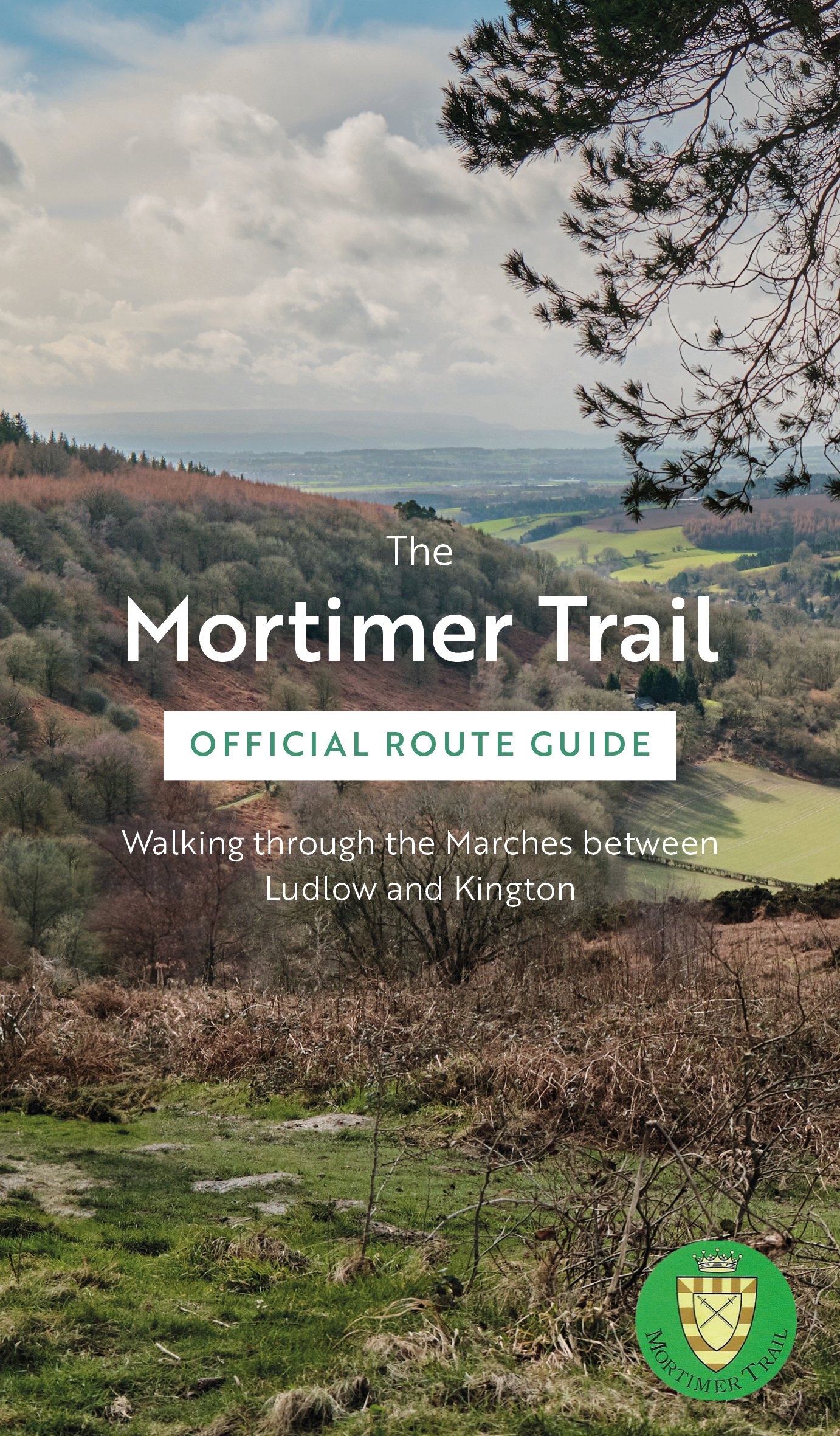
The Mortimer Trail Official Route Guide
The Mortimer Trail is a 30-mile (48km) walking route between Ludlow and Kington, so called because this was the very heartland of the Mortimer family, holders of the most powerful of the Norman earldoms.
The trail follows a succession of hills and ridges in a north-east to south-westerly direction, passing through forests where tracts of broadleaved woodland give way to coniferous stands. You may find deer grazing in the cover of the Mortimer Forest and Shobdon Hill Wood. The route descends from the high ridges to the waters of the Teme, Lugg, and Arrow rivers, where kingfisher and heron can be seen. Climbs are usually rewarded by views of Radnor Forest, the Black Mountains, Clee Hill, and the majestic Malvern Hills. Pause to admire the worn lines of ancient hillforts, and medieval castles. There can be few better and less crowded places to walk in Britain than in the Marches, the border country of England and Wales. This is where gentle pastures give way to wooded slopes and open hilltops.
This guidebook divides the route into three approximately equidistant sections. The sections are:
Ludlow to Croft Ambrey – 10.5 miles
Croft Ambrey to Wapley Hill – 10.5 miles
Wapley Hill to Kington – 9 mile
Parking is available at or near the start and end of each section, but it is also possible to walk the trail using train and bus services.
Navigation instructions are in numbered paragraphs referenced to points on the adjacent maps and there are notes on points of interest.
Introductory sections give information about landscape, wildlife, and a history of the Mortimers.
[Sold on behalf of the Mortimer Trail Association]
